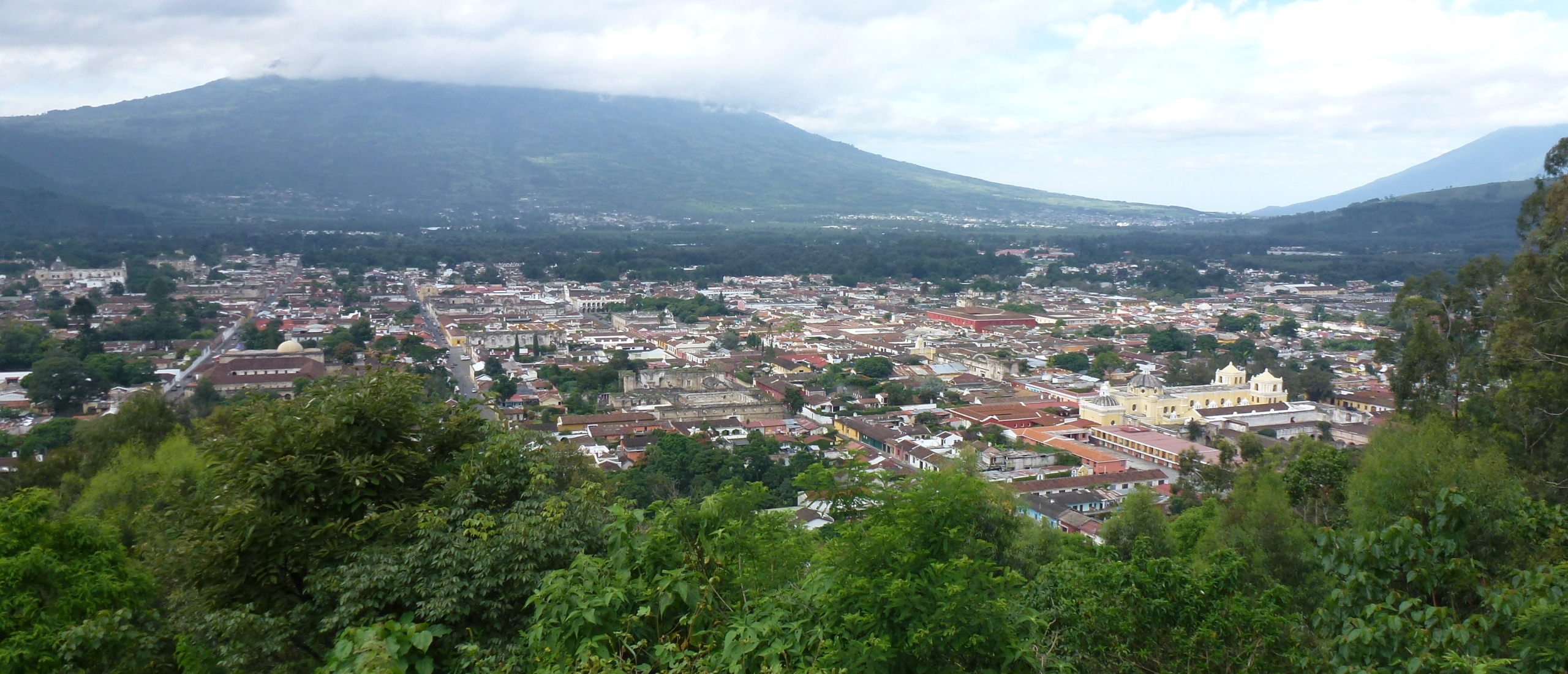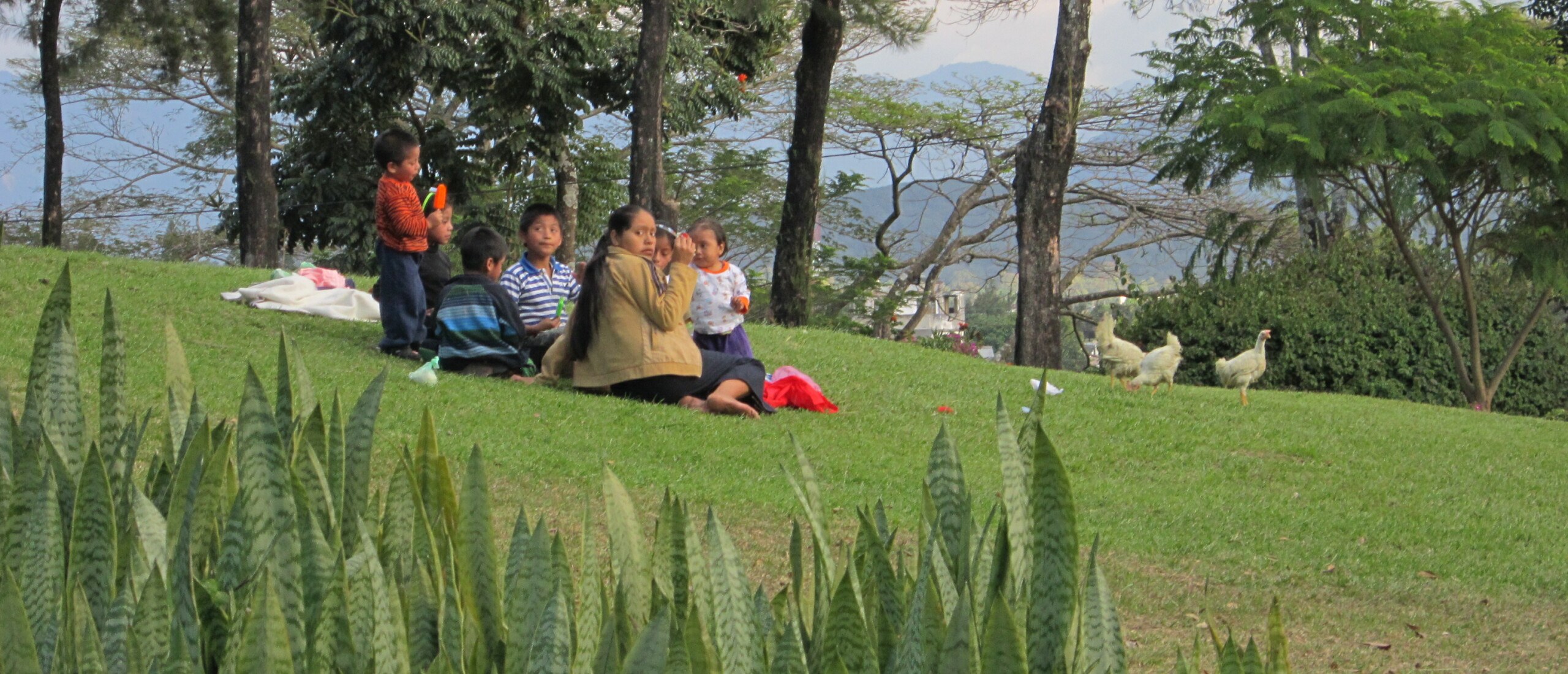

Antigua and Volcan Pacaya Today was a real highlight. After an admin-catching-up morning including a long overdue haircut, I spent an enjoyable hour or so locating the precise spots where Muybridge had taken his photographs around the Parque Central in 1875, and then taking the same views myself 136 years later. Although this main square of Antigua, which used to be an open market place, is now filled with trees, it is amazing how little has changed, despite the ravages of earthquakes. My attempt at recreating Muybridge’s shot of the cathedral from the upper floor of the Palacio de los Capitanes Generales (headquarters of Spanish imperial government of most of Central America for more than 200 years) was not fully successful as Muybridge took his shot from the upper floor, which I was unable to reach due to earthquake-related restoration works.
 Palacio de los Capitanes Generales, Muybridge, 1875
 Palacio de los Capitanes Generales, 2011
 The cathedral, Antigua, Muybridge, 1875
 The Cathedral from a slighly different angle, Antigua, 2011"]
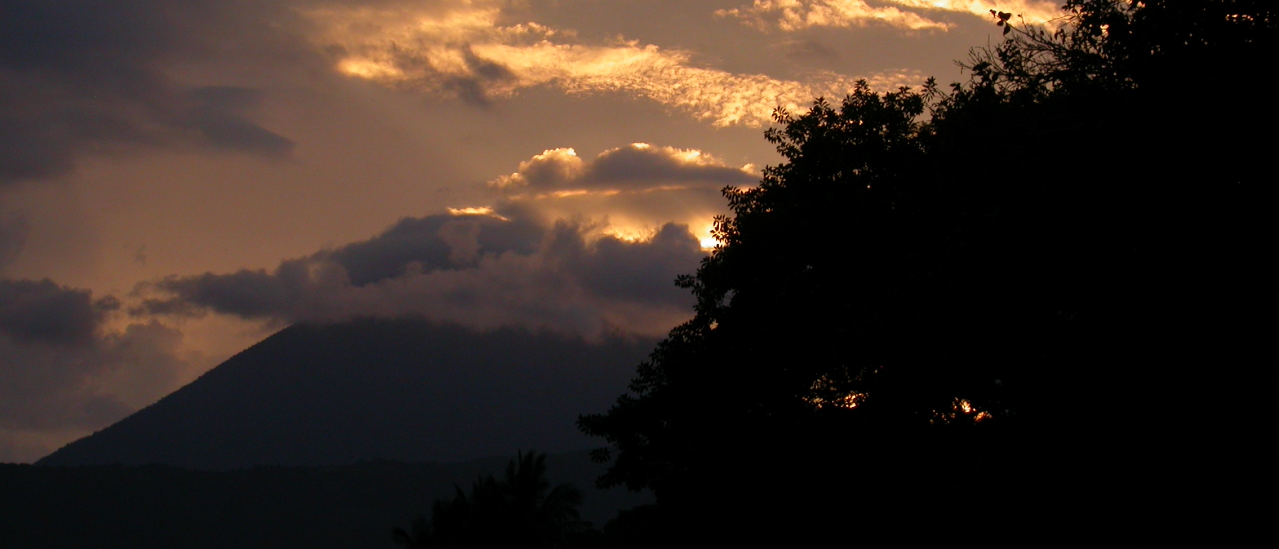
After lunch I was joined by my new tour-guiding friend Chofa, and we set off by minibus towards Pacaya, at 2552 metres not one of the highest volcanoes, but easily the most accessible. Our bus took us up to the starting point for the hike, which though not technically challenging in any way, nonetheless worked up a good sweat in my case (though not in Chofa’s as she had already done this trek more than 50 times!). At first the trail leads up through a strange low forest, with the ground being almost entirely made up of small volcanic stones left over from last year’s major eruption. Our leader, Rodolfo, set a swift pace, and we kept going until suddenly we emerged from the trees onto a black volcanic ridge, from where we were treated to the spectacular view of a very fresh, blackened lava flow, with smoke or steam emerging from numerous patches.
") Volcan Pacaya, showing the smoking lava
Volcan Pacaya, showing the smoking lava
We then descended ONTO the lava, and scrambled our way up towards a hut, which was positioned next to a deep crevasse, from which blazing heat radiated. Here we paused while our guide Rodolfo impaled marshmallows onto a branch, and proceeded to cook them by holding them in the mouth of the ravine…they melted almost immediately.

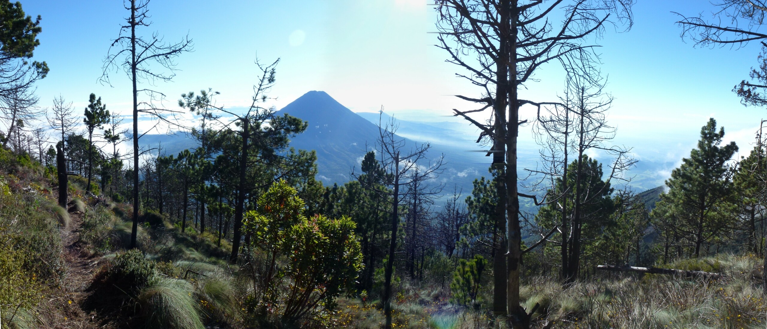
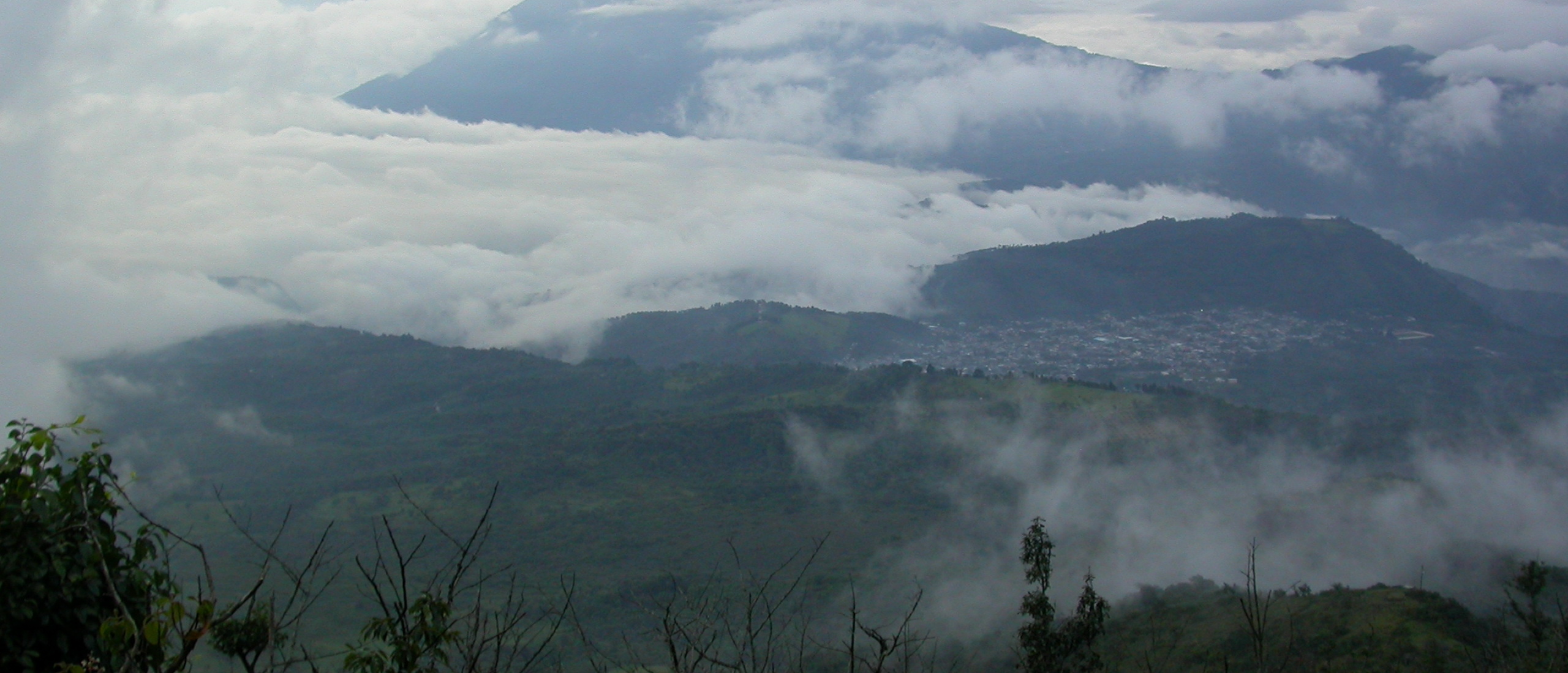
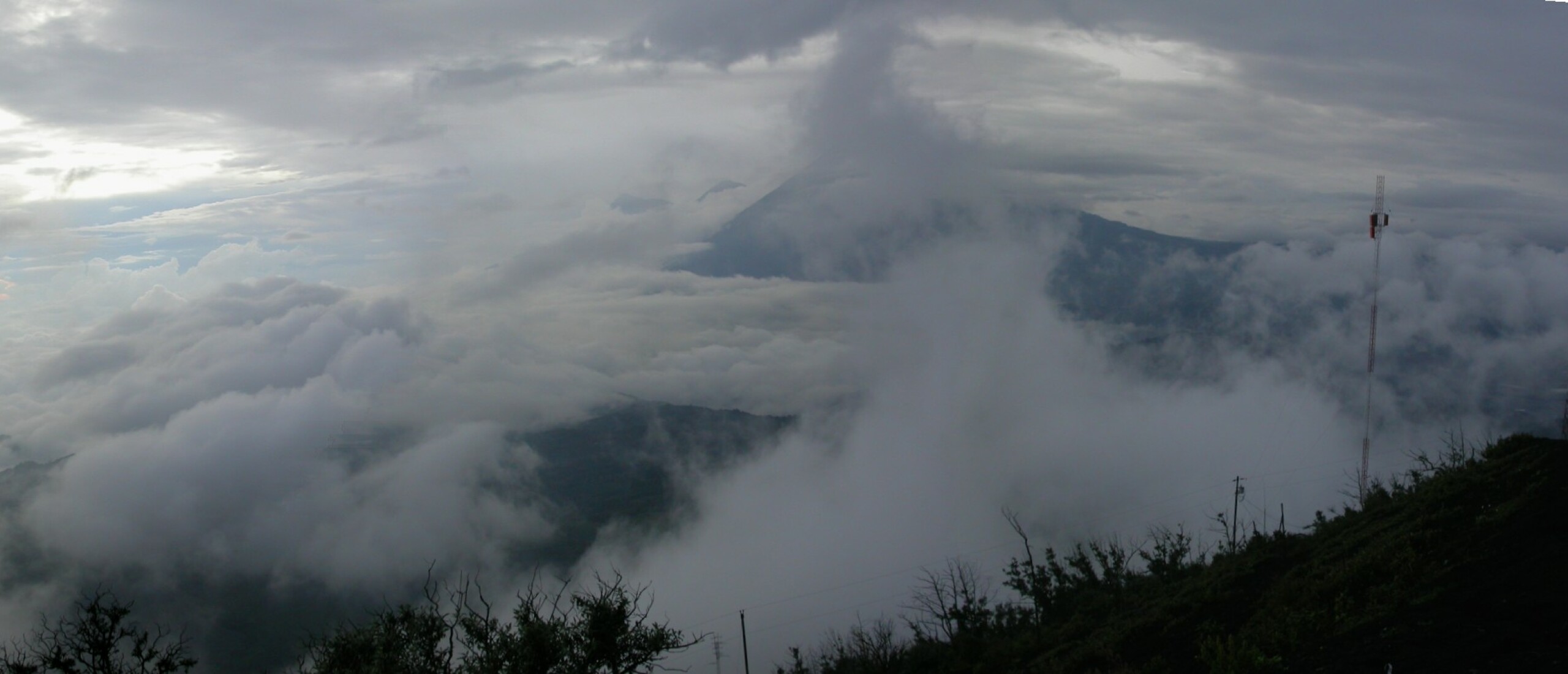
From here we climbed a short distance, and then descended INTO a cave in the lava flow. It was definitely hot here, in the bowels of the lava, and we were shown a small recess in the roof where Rodolfo had cooked some meals in the recent past. Up till this point the visibility had been extremely poor due to cloudy weather, but as we emerged from our cave, the clouds suddenly began to clear, and we could finally not only see the summit of Pacaya, but we were also treated to a truly breathtaking view across the deep valley to the Volcan de Agua (3766 m), and further away both Volcan Acatenango (3976 m) and the Volcan de Fuego (3763 m) were peeking out above the swirling clouds.

Finally we began our descent by a different route taking us down the west side of the volcano, before finally reaching our minibus just as dusk was falling. The fabulous views made this a truly memorable experience.
 Pacaya panorama, looking across to the Volcan de Agua, with Fuego and Acatenango just visible